Meteorology
The HALO Photonics Stream Line LiDAR system offers ultimate flexibility in deployment options, range setting adjustment, all-sky scanning, de-polarisation and real-time Doppler processing out to 12 km.
A HALO Photonics LiDAR system has operated continuously (24/7) at the Chilbolton Observatory since late 2006. It was originally set up to point vertically, but since the initial delivery, it has been upgraded with a dual polarisation measuring capability, a simple 1-axis tilting scanner and 100% duty-cycle data capture to 10 km.
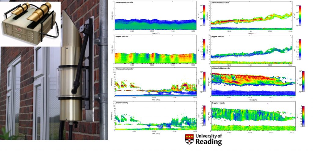
Urban boundary layer studies
The data below was collected using the UFAM HALO LiDAR located in Westminster, London – UK during October 2007. The system was housed in a van, and was left unattended but controllable using remote access software.
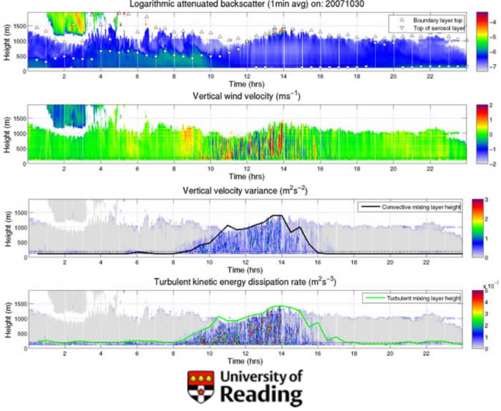
Courtesy of Janet Barlow at the University of Reading
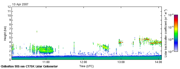
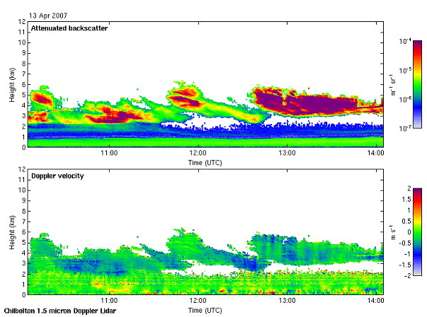
Doppler LiDAR comparison with a direct detection ceilometer
Data from the direct detection CT75K ceilometer, which is co-located with the HALO LiDAR at the Chilbolton Observatory.
Data from the HALO LiDAR for the same time period as above.
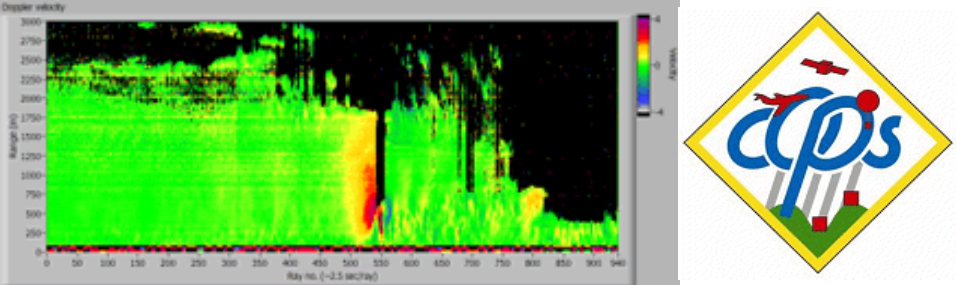
A thunder storm outflow observed at the COPS experiment
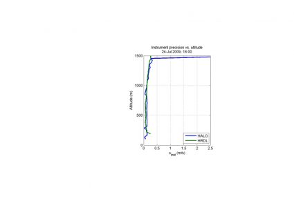
Intercomparison with a large, high-powered system
Inter-comparison of Doppler standard deviation versus range for contemporaneous vertical velocity data acquired with the HALO and HDRL instruments operating from the ground in Boulder, CO.